Lime Introduces New Geofencing Technology, Setting Industry Standards For Scooters
By: John Radcliff, GovTech Product Manager at Lime
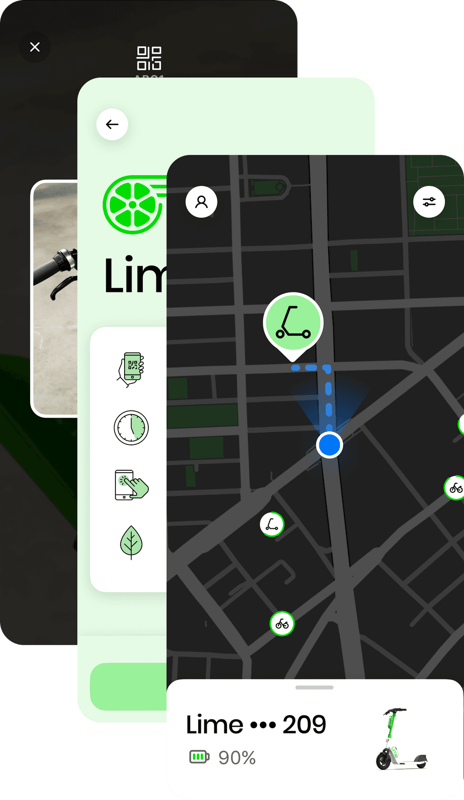
Using GPS to determine a scooters precise location is essential to our business, from connecting riders to the nearest scooter to showing cities popular routes to build bike lanes. One of the common ways we use GPS is creating geofenced areas, or ‘zones’ that allow us to create specific rules based on the location of the scooter, from designating parking areas to reducing the maximum speed limit on busy corridors.
Today, we’re launching a new, patent-pending zone detection technology globally that will improve Lime’s precision when it comes to further encouraging more responsible rider behavior and enforcing local regulations, like speed limits and parking practices. This new technology is one of the many ways we are working with cities to address concerns associated with micromobility, and will allow scooters to react and implement geofence zone commands up to 90% faster — setting new standards for the industry.
Geofencing and Zone Detection
In many cities where we operate, we have geofenced zones. Depending on the type of zone, vehicles can slow down, stop, or warn a rider. Riders may see ride zones in the Lime app as shaded areas outlined in red on the map and riders can tap on the zones to see the type of zone and the rules associated with it. The following are the types of zones we use in cities around the world:
- • No Locking Zones: Riders cannot end or pause a ride in this zone. Locking is disabled.
- • Low Speed Zones: The scooter’s top speed is restricted in this zone and riders can tap on the zone to see the top speed.
- • No Scooter Zones: Riders cannot ride in this zone. The vehicle will safely stop and locking will be disabled. Riders must walk the scooter out of this zone to resume riding.
- • No Parking Zones: Riders cannot park their scooter in this zone. Riders should confirm that their vehicle is not in a ‘No Parking Zone’ to avoid potential fines.


How Zones Work & What We’re Changing
Currently, the geofenced zones Lime creates are housed in Lime’s servers, ‘cloud’-like data sources for our scooters. Communicating back and forth to the server can sometimes be slow, causing confusion for riders after entering or exiting a zone. Now, with our cutting-edge technology, the scooter itself will host all of the zone maps, removing the need to go back and forth to the server as often. With this improvement, the scooter will be able to tell if it’s within a zone perimeter as frequently as every 1 second.
So what does that mean for you? We will be able to communicate to our riders faster about the zone they’re entering, in addition to improving our compliance with local regulations for a smoother rider experience.
This innovation comes on the heels of our sidewalk detection launch, a first-of-its-kind technology to detect and reduce e-scooter sidewalk riding and better inform cities on infrastructure needs.
You can learn more about Lime’s product innovation and tech updates happening near you by subscribing to 2nd Street.